


Srinagar: Jammu and Kashmir is bracing for a major spell of rain and snow later this week, with the India Meteorological Department (IMD) warning of widespread weather disturbances from October 4 to 7. The most severe phase is expected between the night of October 5 and the morning of October 7, triggered by an approaching Western Disturbance.
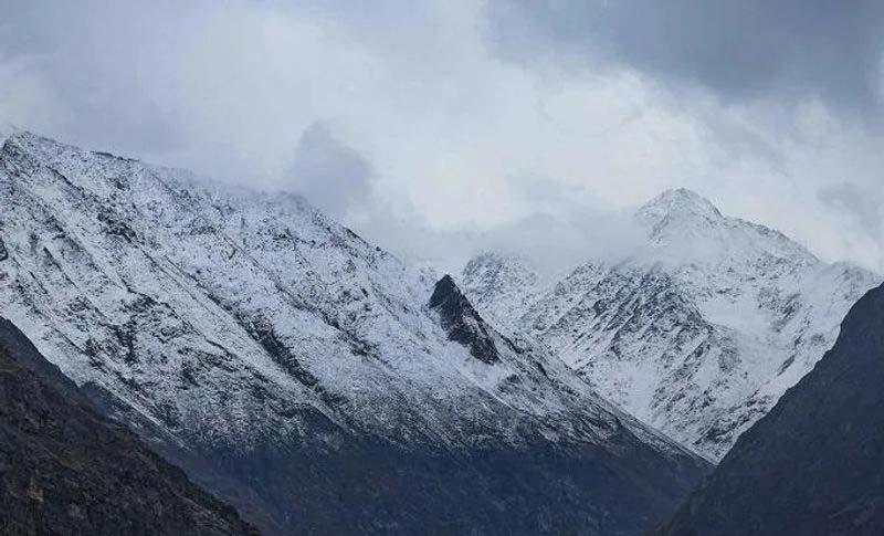
The IMD’s advisory, shared with regional authorities, warns of moderate to heavy rainfall in the plains and significant snowfall over higher elevations. Likely affected areas include Anantnag–Pahalgam, Kulgam, Sinthan Pass, Shopian, Pir Ki Gali, Sonamarg–Zojila, Gulmarg, Bandipora–Razdan Pass, and Kupwara–Sadhna Pass. While heavy accumulation is expected at higher reaches, mid-altitude regions may also see moderate snowfall.
In the Kashmir Valley, plains are forecast to receive sustained heavy rain, while parts of the Jammu division could face isolated very heavy downpours accompanied by thunderstorms, lightning, hail, and winds of 40–50 km/h, with gusts up to 70 km/h.
Authorities have cautioned about likely transport disruptions, especially along the Jammu–Srinagar and Srinagar–Leh highways, where landslides, mudslides, and shooting stones are possible. Farmers have been urged to suspend agricultural activities to prevent crop damage, while residents in low-lying and riverside areas are advised to remain vigilant against waterlogging and rising river levels.
The advisory calls for public awareness and preparedness, urging travelers to stay updated on weather and traffic advisories and avoid vulnerable areas. Officials said the situation is being monitored closely and further updates will be issued as needed.