


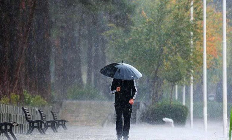
Srinagar: Jammu and Kashmir is likely to experience heavy to extremely heavy rainfall over the next 48 hours, with Tuesday expected to see particularly severe conditions. The Meteorological Centre in Srinagar has issued a severe weather alert for the Jammu region and South Kashmir, warning of possible cloudbursts, flash floods, landslides, and falling rocks.
According to the advisory, Monday will bring light to moderate rain to parts of the Jammu region, especially Kathua, Samba, Doda, and Kishtwar districts. Most of the Kashmir region is expected to remain dry, though isolated showers may occur later in the afternoon or evening.
On Tuesday, conditions are predicted to worsen significantly. Several areas in the Jammu region are likely to receive heavy to extremely heavy rainfall. The advisory warns that rising water levels in some streams and rivers may cross the flood alert mark. Poonch is expected to be the least affected district in the Jammu division.
In Kashmir, South Kashmir—particularly the higher reaches—will bear the brunt of the heavy to very heavy rainfall. The Pir Panjal range may also see intense rain, heightening the risk of flash floods and increasing water levels in downstream streams and rivers. Snowfall is possible over the higher altitudes. Central Kashmir may experience only light to moderate showers, while North Kashmir is expected to remain largely unaffected, according to forecasts by Kashmir Weather.
Authorities have advised the public to avoid trekking or venturing into the mountains of Jammu and South Kashmir until Wednesday. Residents in low-lying and flood-prone areas are urged to exercise caution due to the potential for overflowing streams and rivers. The advisory also warned that flash floods, falling rocks, and landslides could disrupt travel across mountain passes on Tuesday.